 WaterFit protecting our rivers and seas together.
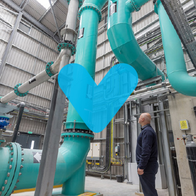
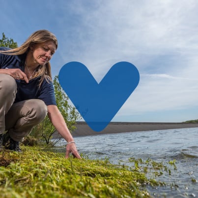
WaterFit is the next stage in our environment strategy, accelerating and expanding plans to protect and enhance the South West’s water for future generations.
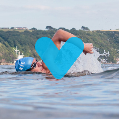
The South West has some of the best beaches in Europe. With 860 miles of coastline, we know how passionate you are about swimming, surfing, paddling and bathing at our beautiful beaches.
That’s why we are working hard to reduce the use of storm overflows. We’re calling our programme of improvement - WaterFit.
Our WaterFit Live interactive map, is a way to give you the information you need the next time you want to visit your favourite beach. It will tell you if storm overflows near the beach may have temporarily affected the bathing water there.
You’ll also be able to find more information about what we’re doing to invest in your local beach and reduce the impact of our overflows.
Heading to the beach today?
Then why not check out our interactive WaterFit Live map? You’ll be able to zoom in to your local beach, to see if any of our storm overflows have been in use, to the extent that it may have temporarily affected bathing water. You can also find out more about facilities there and our individual beach investment plans.
WaterFit Live map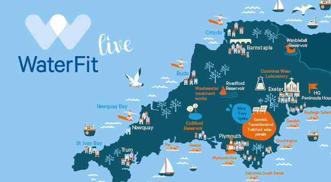
 Download our programme update, plan for healthy rivers and seas, plus the latest bathing water return
|
|
|
|
| WaterFit Update - Customer Update 2023 | ||
|
|
|
 |
| Our plan for healthy rivers and seas - 2022 | Bathing water return 2022 | Storm overflows: EDM Monitoring Annual Report 2022 |